 Arfaja
Coming soon on iPhone and Android
Don't drive hundreds of km on a rumour.
Arfaja shows where the desert in Saudi Arabia and Kuwait turned green, from satellite pictures usually 2 to 5 days apart, each with its date. In a dry season, the map says so.
Joining the list needs JavaScript.
A photo in the group chat. Nobody knows its date.
- The green after rain does not come everywhere.
- A photo goes round, and nobody knows when it was taken.
- You drive for hours and find the ground dry.
- Out there, there is no network to check.
Arfaja shows where the satellites saw green, and on which day.
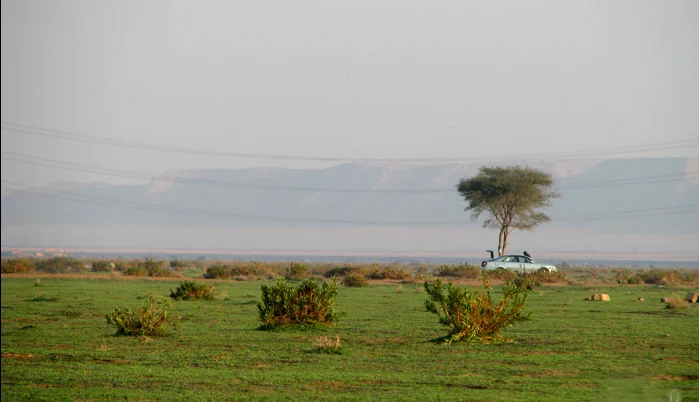

Check from home. Go with the map.
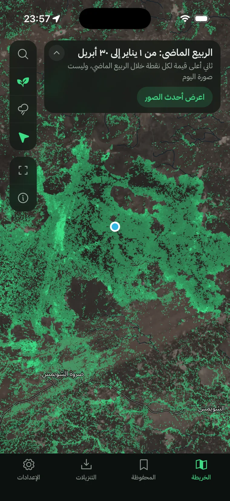
Three screens of the real app, in Arabic.
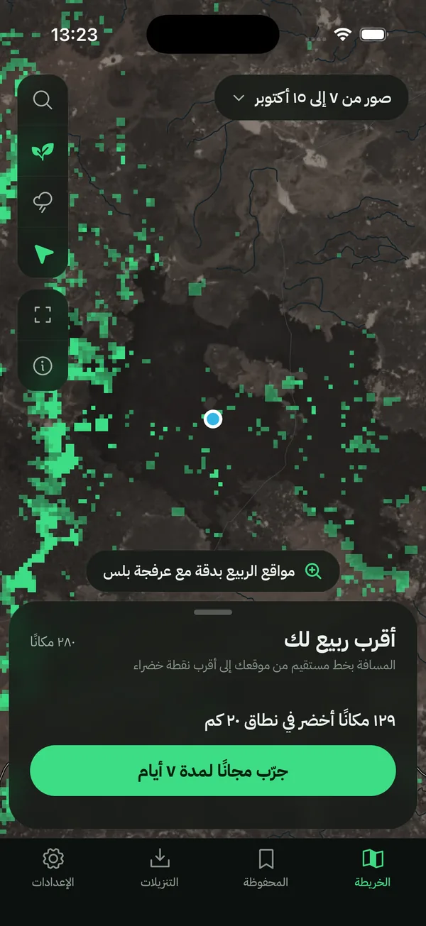
See where it turned green
The green the satellites saw, the dates of the pictures, and how many green places are near you.
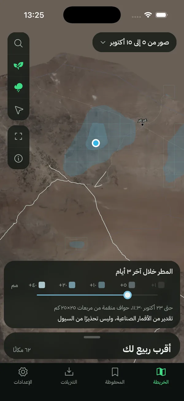
The rain that fell
Rain of the last days, estimated from satellites in squares of 25 by 25 km. Never a flood warning.
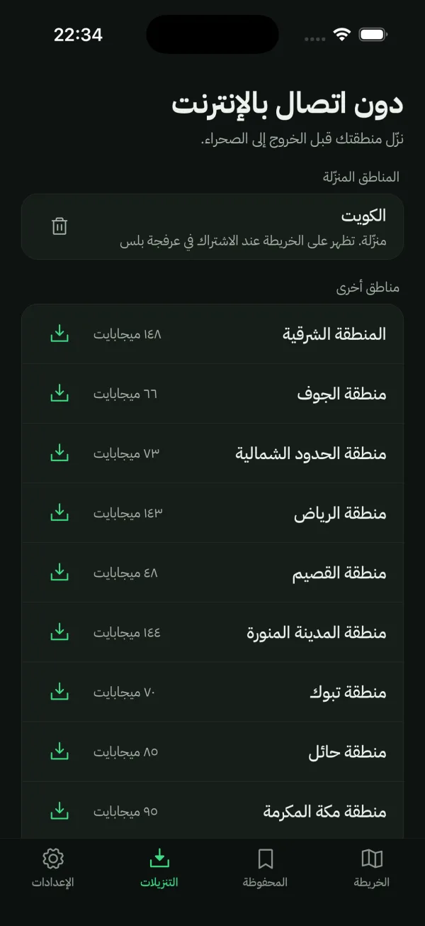
Download before you leave
In the desert with no signal, the map, the green and the search keep working.
Real screens of the app under test, pictures of 7 to 15 October 2026, in the dry season.
One satellite picture. Then the green.
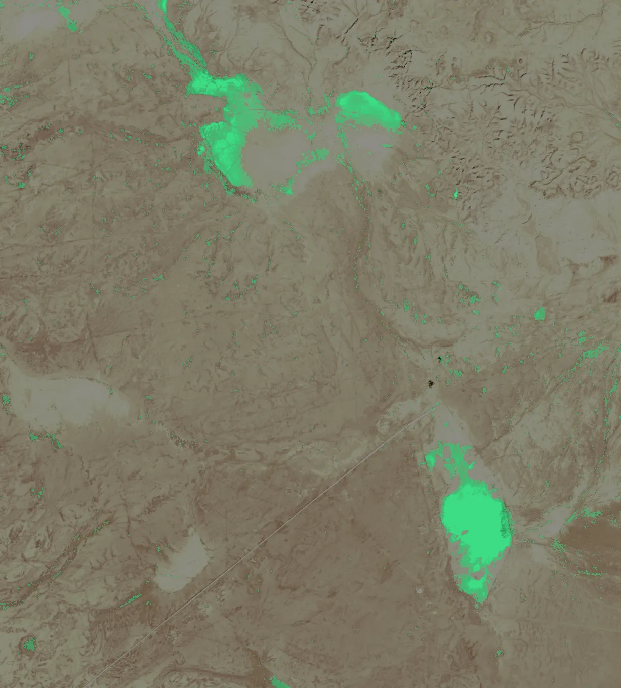
Arfaja compares each new picture with the same ground in the dry season and marks what turned green. Drag across the picture.
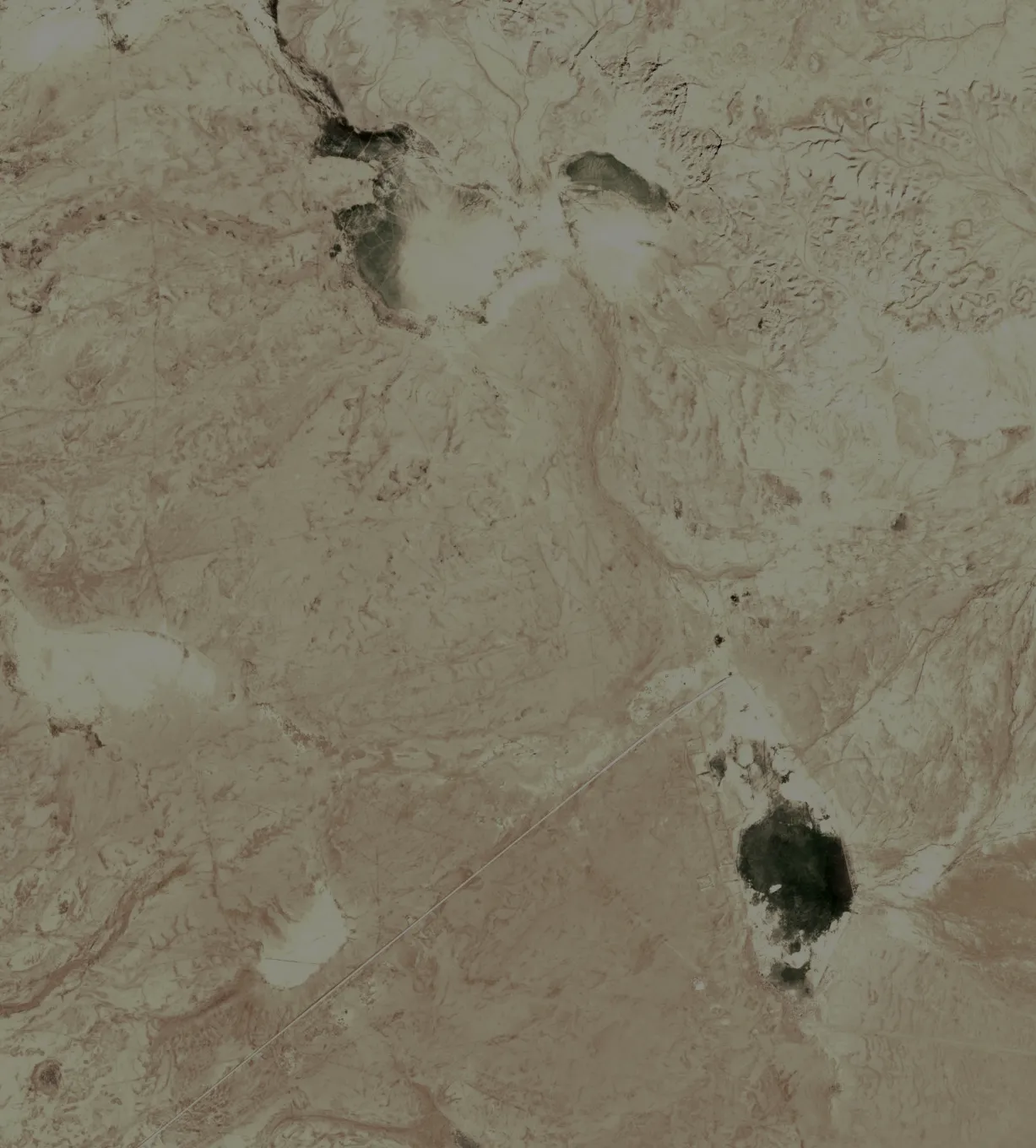
Sentinel-2 picture of 8 February 2026, north of Riyadh With Arfaja's green
- Riyadh
- Eastern Province
- Al-Qassim
- Ha'il
- Al-Jawf
- Northern Borders
- Tabuk
- Madinah
- Makkah
- Najran
- Kuwait
11 regions, their desert interior. Not in this first version: Asir, Jazan, Al-Bahah, and the highlands of Taif and Najran, where the green comes with the summer rains.
See the area free. Pay for the exact spot.
Free
No account, no sign-up.
- Where the desert turned green, at map scale
- The rain of the last days
- Last spring, out of season
- Search for a rawdah by its name
Arfaja Plus
Yearly. New subscribers can try it free for 7 days where their store offers it.
- The exact green spots, up close
- The nearest green places, with their pages
- Maps and search without network
- Saved places
The price is not announced yet; your store shows it at launch. Cancel anytime in your App Store or Google Play settings.
Seen, never promised.
Every green place carries the date of the picture it was seen in. Clouds can hide the ground for days. Arfaja shows what the satellites saw; it cannot say a place is still green today, and it says nothing about the roads.
The rain layer is a satellite estimate, not a flood warning. Wadis can flood fast after rain: follow the official warnings.
Questions
When can I get it?
Coming soon, on iPhone and Android. Join the list and we will email you the day it is out.
Does it need network?
To see the newest pictures, yes. With Arfaja Plus you can download a region before you leave; it then works with no signal.
Is it exact?
It shows what the satellite saw on the date shown, at about 20 m; thin grass can be missed. It cannot say a place is still green today.
Is it safe to rely on?
Use it to choose where to look, not to decide whether a trip is safe. It does not know the state of the roads, and it is not a flood warning.
What do you do with my email?
We send the confirmation and the two emails, nothing else, then we delete the list. Details on the privacy page.
How much does it cost?
Seeing the area is free. The price of Arfaja Plus is not announced yet; your store shows it at launch.
Know the day the first green is seen.
Joining the list needs JavaScript.